It's a digital world in today's forests
Over the last 30 years, natural resource professionals collecting field data have been shifting from paper plot sheets to digital devices.
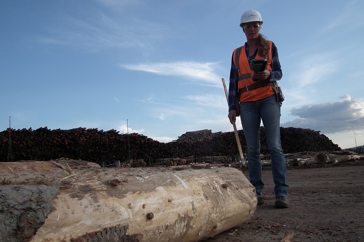
(Photo courtesy IDAHO FOREST PRODUCTS COMMISSION)
Over the last 30 years, natural resource professionals collecting field data have been shifting from paper plot sheets to field devices that store data electronically.
Initially these devices just stored data for later use on another computer. But power to do calculations in the field, integrated global positioning systems, and improved screens and computing speed to use aerial photos and geographic information system data more effectively.
One of the most common concerns about taking electronic devices outdoors is whether they will stand up to water and other abuses likely to befall them from extended field use.
Most mobile computing devices designed for forestry are "ruggedized," with heavy plastic shells and other features to protect the electronics. Unfortunately, ruggedized devices are not cheap - the prices range from $1,000 -$4,000.
Compared to ruggedized forestry mobile devices, smartphones and tablets have some features that make them attractive to family forest owners (and many foresters). They are relatively inexpensive - anywhere from $100 to $700, depending on your cell service plan, they are light, and they can be used outside of forestry work for other purposes.
These devices are not usually built for field use. But they have become more durable over time, and one can usually purchase cases to protect them. Even if they are damaged in the field, you could burn through two or more of these devices and still pay less than a ruggedized device cost.
Their lower price also makes it less painful to upgrade to a newer device for significant improvements.
The inclusion of GPS (from satellites, not just cell towers) is what started many thinking of forestry possibilities for mobile devices. Some of the newer devices can even access GLONASS (Russian GPS satellites), as well as American satellites — more satellites often means more GPS accuracy, especially under forest canopies or in canyons where line-of-sight to satellites can be challenging.
At least a dozen apps will bring up screens on a device similar to what you would find on a GPS receiver (like GPS Essentials, GPS Status, etc .). Google Maps will even give you turn- by- turn driving directions over your device, just like automotive GPS devices do.
Some of the best apps integrate the device's GPS capabilities with aerial photos, maps or other data loaded to the device from the Internet. Such features are increasingly being described as "augmented reality, " a view of the real world augmented or supplemented by computer -generated sensory input such as graphics or GPS data. Mapping and GIS apps typically show your location relative to some type of map. So when you see your live location on the map you may also see nearby roads, forest cover, the soil type you are standing on (an app called SoilWeb), topography, or any other information delineated on the map.
Most people are familiar with Google Earth and Google Maps for their home computer. These programs are also available as apps. There are also several other apps that do some similar things including Oruxmaps, and BackCountry Navigator. Even ESRI, a dominant U.S. GIS software provider, has an app now (ArcGIS). There is a range of sophistication in these apps; Google Maps is pretty useful to most people immediately, whereas the ArcGIS app may require more familiarity with GIS to use fully.
If cellular data isn't available where you are working, you will not have live access to those maps. However, many of these apps allow saving maps or other geo-referenced data (data tied to a location) to the device; you can download that data ahead of time for field use.
Field guide books can be heavy to lug around, but there are apps to help you identify trees, understory plants, and weeds.
One of the better apps of this kind is the Android app "1,100 Weeds of North America", which helps you identify weeds using plain language rather than arcane scientific terms, and includes access to over 4,000 color photos to help you along the of books to identify, plants, trees, mushrooms etc. that can be downloaded to and read on a mobile device with "reader" apps such as Kindle.
One of the first electronic device uses in forestry was to collect forest measurement data.
Many basic spreadsheet programs can be used for this purpose. You can enter plot data into some cells, then enter formulas into other cells to turn those measurements into usable information, such as trees per acre, tree or stand volume, or other stand characteristics.
There is also a timber cruise app that does some of this for you - Plothound stores geo-referenced plot data from a mobile device to the "cloud" (a computer network accessed through the internet), from where you can retrieve it from another computer.
More people are being engaged in the effort to collect more data to support better science. For example, the "EDDMapS West" app allows anyone to contribute geo-referenced data (data that is tied to a location) about observations of exotic invasive species (like noxious weeds) they run across.
Phenology is the relationship between a periodic biological phenomenon (flowering, migration, etc.) and climate. An app called Natures Notebook, allows you to enter all kinds of phenological data for a given location for use in the scientific community and for your own interest.
If you like checking your rain gauge, the CoCoRaHs app helps you to store your records in a cloud and share them with others (you need to sign up as a CoCoRahs volunteer first - go to www.cocorahs.org).
Many other apps can come in handy for a forest owner. For example:
• Want to know the forecast for burning slash piles tomorrow? Try the Weather Channel, Weatherbug, or other weather forecast apps.
• Want to convert feet to meters or chains? "gUnit" helps you convert over 30 kinds of measurements.
• Want information on the current snowpack near you? Install the SnoTell NRCS & RFC stations app on Android devices.
• Want to estimate tree height? Use the Measure Height app, but be aware that the results will be in meters.
• Want to know the slope of a road or hill? Try the Clinometer app.
• When will the sun be in the best place to take a picture at a given site? LiteTrac has the answers.
Don't forget your device's Web browser. For example, if you use SoilWeb to determine soil type you could go to the web soil survey to get more details about the capabilities and limitations of that soil type for building roads, tree plantability, etc. There are also many good web sites for tree identification and other resources that aren't necessarily channeled through a dedicated app (like Oregon State University's tree identification site, www.oregonstate.edu/trees/).
Smartphones have the obvious advantage of allowing you to make and receive phone calls in addition to the apps. But for mapping apps, a bigger screen makes viewing larger scale maps easier, making a tablet more attractive.
Many people who really get into using apps get both. You may or may not need to have data plans for more than one device. If your smartphone can act as a hotspot, you may be able to use the phone for the data access and get data for the tablet through your phone.
Apps are typically either free or relatively inexpensive (usually less than $25). A more difficult issue may be the cost of data plans and where you have data service.
Some of these applications require real-time access to data to work correctly (like mapping applications). Since family forests tend to be a little closer to towns and cities, you may have more access to data in the woods than you think.
Check to see which cellular service providers have the best data coverage in your area.
Even if you have field data access, consider downloading maps or other large data sets via connection to your home wireless network. It may be faster and you won't generate extra data costs if you have a limited data plan.
There are several accessories to consider when taking mobile devices outdoors. For example, GPS reception can often be improved with an external GPS receiver. Garmin makes a small external GPS receiver that links to a phone or tablet via Bluetooth.
Placing the device where the signal is better (above your head, or away from the base of a tree canopy) should increase accuracy.
Consider buying a case that will protect your device if it is dropped or exposed to water. If you plan to be in the woods more than a day, look into additional power options such as extra battery packs or portable chargers. There are also a growing number of solar-devices that can charge phones, tablets and other portable electronic devices.
Finally, if you plan to store a lot of maps, photo-filled field guide apps, or other large data sets on a device with expandable memory, consider purchasing an SD flash card for additional data storage.
Note: Mention or a display of a trademark, proprietary product, or firm in text or figures does not constitute an endorsement by the US Department of Agriculture or University of Idaho Extension, and does not imply approval to the exclusion of other suitable products or firms.